
Geographic Information Systems
GIS to Manage Your Unique Needs
Let Sage Civil Engineering explain the benefits of a GIS for your system. A GIS provides an owner the means to control inventory, track maintenance, catalogue improvements, file related documents, and much more–without the need for bulky physical documents and large amounts of storage space.
During or after development of your GIS, Sage Civil Engineering can provide on-going training so you can maintain and update the GIS system as it grows and changes with your needs.

From municipalities and airports to a rural electric company or private property, SCE can develop a GIS to:
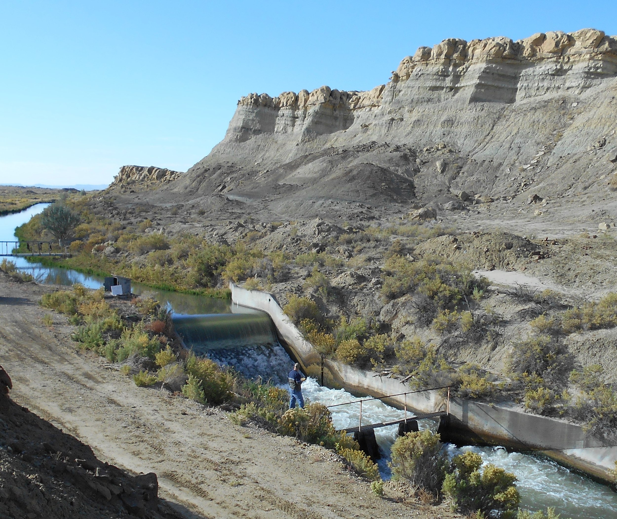
Map All Components of Your “Network”
Catalogue Water Shares
Prepare Water Rights
Create Land Classification Maps
Enhance As-Constructed Plans
Compliment Any Data Source
Evaluate & Photograph Appurtenances for Monitoring & Maintenance Records